
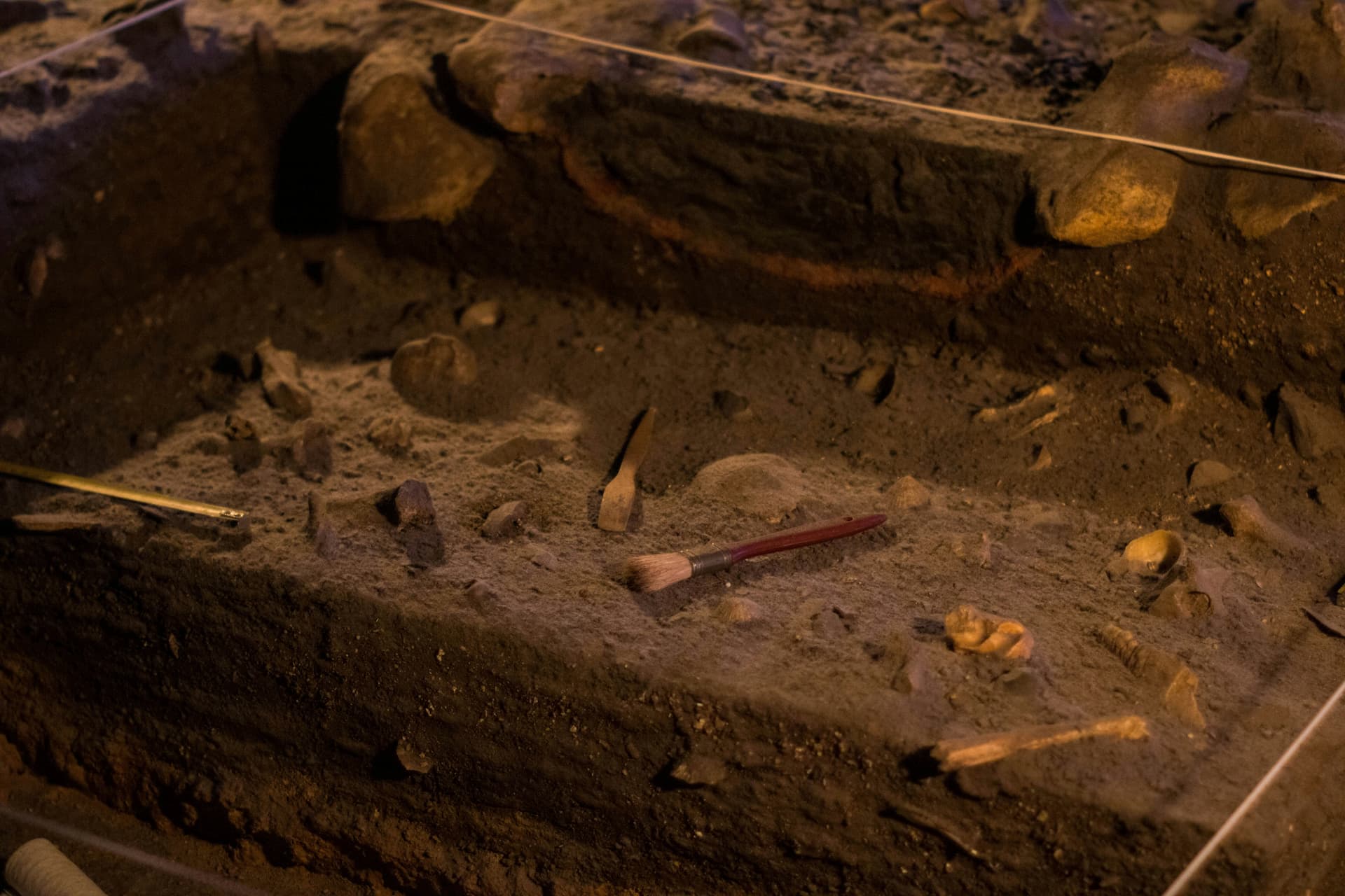
Geodesy and Geoinformation B.Sc.
Technical University of Munich (TUM), Germany

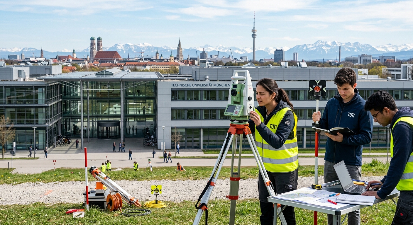
Bachelor of Science in Geodesy and Geoinformation
Technical University of Munich (TUM)
Geodesy and Geoinformation
Program Overview: Geodesy and Geoinformation B.Sc. at TUM
The Bachelor's degree program in Geodesy and Geoinformation at TUM teaches the engineering fundamentals for recording, measuring, and mapping the earth's habitat. It is an interdisciplinary program that combines mathematics, computer science, physics, geosciences, mechanical engineering, and electrical engineering to prepare you for a dynamic and technology-driven field.
Throughout the program, you will learn to apply the methods and tools of land and building surveying, photogrammetry, remote sensing, satellite geodesy, cartography, geoinformatics, and spatial and urban development. Whether it is mobile mapping, climate change monitoring, autonomous driving, or digital urban twins, you will develop the skills to record spatial relationships and digitally map the earth's surface.
Offered by the TUM School of Engineering and Design, this program provides a diverse range of subjects from engineering surveying of complex structures and land management to the 3D digitization of cities and area-wide monitoring of sea levels. Upon graduation, you will possess a broad portfolio of fundamental mathematical, physical, technical, and methodological skills that open doors to numerous career paths.
Key Program Highlights
- Interdisciplinary curriculum combining mathematics, computer science, physics, geosciences, and engineering disciplines
- Hands-on training with modern surveying instruments, satellite technology, laser scanners, and remote sensing sensors
- Mandatory five-week external internship providing real-world professional experience
- Opportunity for an international semester abroad, ideally in the 6th semester through TUM Exchange
Curriculum and Modules
The program is structured over six semesters with a credit load of 30 ECTS per semester. The first two semesters focus on foundational knowledge in mathematics, physics, and legal frameworks, while semesters three through six shift to specialized engineering knowledge across all core areas of geodesy and geoinformation. The program concludes with a bachelor's thesis that integrates all acquired skills.
Engineering Mathematics and Statistics
30 ECTSCovers advanced and numerical mathematics, linear algebra, calculus, and statistical methods essential for geodetic computations and spatial data analysis.
Experimental Physics and Measurement Technology
15 ECTSProvides foundational knowledge in physics and introduces the physical principles underlying geodetic measurement instruments and sensor technologies.
Surveying and Engineering Geodesy
25 ECTSTeaches methods and tools for land and construction surveys, including the use of theodolites, total stations, laser scanners, and GNSS receivers for precise spatial measurements.
Photogrammetry and Remote Sensing
20 ECTSCovers the acquisition and processing of spatial data from aerial and satellite imagery, including image analysis, point cloud generation, and environmental monitoring techniques.
Satellite Geodesy and Higher Geodesy
20 ECTSIntroduces satellite-based positioning systems, physical geodesy, Earth system modeling, and global reference frame determination for large-scale spatial applications.
Geoinformatics, Cartography and Land Management
20 ECTSFocuses on geographic information systems, digital cartographic methods, spatial data infrastructure, and the legal and planning frameworks for land management and urban development.
Elective Modules
Admission Requirements
Admission to the Geodesy and Geoinformation B.Sc. program at TUM is based on an aptitude assessment process. Applicants must demonstrate strong academic preparation, particularly in mathematics and the natural sciences, along with sufficient German language proficiency. Contact Uni4Edu for guidance on preparing a competitive application.
Academic Requirements
- Secondary EducationCompleted secondary school qualification equivalent to the German Abitur or an internationally recognized university entrance qualification
- Mathematics ProficiencyStrong academic performance in mathematics is essential for the engineering and scientific foundations of the program
- Science BackgroundSolid preparation in physics and natural sciences is recommended to succeed in the foundational modules
- Aptitude AssessmentTUM conducts an aptitude assessment (Eignungsfeststellungsverfahren) to evaluate suitability for the program
- Preliminary DocumentationInternational applicants may need a Preliminary Documentation (VPD) from uni-assist verifying their educational credentials
Language Requirements
- German ProficiencySufficient German language skills are required; recognized certificates include DSH-2, TestDaF (TDN 4 in all sections), or Goethe-Zertifikat B2 minimum
- Alternative German ProofGerman Abitur or completion of a German-taught degree program may serve as proof of language proficiency
- English SkillsBasic English proficiency is recommended for accessing international research literature, though the program is taught in German
Required Documents
Application Deadlines
For personalized admission guidance, document verification, and application support, please contact Uni4Edu
Scholarships and Funding
TUM offers several funding opportunities for students enrolled in the Geodesy and Geoinformation B.Sc. program. International students can access merit-based and need-based scholarships, as well as external funding from German academic organizations. Contact Uni4Edu for assistance in identifying and applying for the most suitable funding options.
Deutschlandstipendium
EUR 300 per monthA federal merit-based scholarship open to students of all nationalities. It rewards academic excellence, social commitment, and personal achievement. TUM awards around 800 Deutschlandstipendium scholarships each year.
TUM Scholarship for International Students
EUR 500 – EUR 1,800 per semesterA one-time financial aid funded by the Bavarian government, available to enrolled international students. Recipients can reapply each semester, with a maximum funding period of 36 months.
DAAD Scholarships
Varies by programThe German Academic Exchange Service (DAAD) provides extensive funding for international students covering living expenses, travel, and other costs. Multiple DAAD programs are available depending on nationality and academic profile.
For detailed tuition fee information, please contact Uni4Edu — we will guide you through the costs and available funding options for this program.
Career Prospects
Graduates of the Geodesy and Geoinformation B.Sc. program are well prepared for careers in both the public and private sectors. The growing demand for spatial data in areas such as urban planning, environmental monitoring, autonomous driving, and infrastructure development ensures strong employment prospects. Many graduates also pursue a Master's degree at TUM to further specialize their expertise.
Potential Career Roles
Typical Employers
Rankings and Recognition
The Technical University of Munich is consistently ranked as the top university in Germany and among the leading institutions in Europe and worldwide. TUM's engineering and natural sciences programs are particularly distinguished, providing an outstanding academic environment for Geodesy and Geoinformation students.
| Subject | Ranking Body | Rank |
|---|---|---|
| Engineering and Technology | QS World Rankings by Subject | #16 |
| Natural Sciences | QS World Rankings by Subject | #19 |
| Engineering | Times Higher Education | #15 |
| Earth and Marine Sciences | QS World Rankings by Subject | Top 50 |
How to Apply
Applying for this program is easy with Uni4Edu. Our team will guide you through every step of the process — from document preparation to final enrolment.
Contact Uni4Edu
Reach out to our team via email or phone. We will assess your profile and confirm your eligibility for this program.
Prepare Your Documents
Our advisors will provide you with a personalised checklist of required documents and help you prepare your application package.
Submit Your Application
Uni4Edu will submit your application on your behalf and keep you updated on its progress throughout the review period.
Receive Your Offer
Once accepted, we will help you understand your offer, arrange visa support if needed, and guide you through the enrolment process.
Similar Programmes


Bachelor's Degree
36 months
Ocean and Geophysics BSc (Hons)

Prifysgol Bangor University, Bangor, United Kingdom
Earliest Intake
May 2027
Gross Tuition
20000 £

Master's & Postgraduate
48 months
Physical Oceanography MSci
Prifysgol Bangor University, Bangor, United Kingdom
Earliest Intake
May 2027
Gross Tuition
20000 £

Bachelor's Degree
48 months
Applied Humanities-Plant Studies (BA)
University Of Arizona, Tucson, United States
Earliest Intake
May 2027
Gross Tuition
39958 $

Bachelor's Degree
36 months
Geosciences
University of Jena, Jena, Germany
Earliest Intake
April 2026
Gross Tuition
610 €
Master's & Postgraduate
24 months
Geochemistry/Petrology
University of Bonn, Bonn, Germany
Earliest Intake
December 2026
Gross Tuition
690 €



Uni4Edu AI Assistant
